If you own or are considering buying land in Avdellero, Voroklini, Kellia, Koshi, Pyla or Troulloi, check the revised planning zones for your plot. The Department of Town Planning and Housing published the revisions in 2026, referring to Notice Α.Δ.Π. 534/2026. Reasoned objections can be submitted through the “ΙΠΠΟΔΑΜΟΣ” system until 23 February 2027 at 23:59. See the official announcement.
Start with your plot details, the new plan and the previous applicable version. The aim is to establish what has changed for your land and, if you have grounds to object, keep proof that your objection was submitted.
Which communities are covered?
The publication covers Spatial Planning Area I of Larnaca district, a descriptive translation of the Greek “Χωροταξική Περιοχή I”. The official register contains a separate plan for each of the six communities:
- Avdellero — 2026 plan. Listed as Αβδελλερό.
- Voroklini — 2026 plan. Listed as Βορόκληνη.
- Kellia — 2026 plan. Listed as Κελλιά.
- Koshi — 2026 plan. Listed as Κόσιη.
- Pyla — 2026 plan. Listed as Πύλα.
- Troulloi — 2026 plan. Listed as Τρούλλοι.
The same set includes an overview map of Area I in Larnaca district. All the links are available in the official development plans register.
Page two of Notice Α.Δ.Π. 534/2026 gives the common plan-number prefix ΔΠ/ΑΝ 2026/ΛΑΡ Ι. The suffix /01 identifies Avdellero, /02 Voroklini, /03 Kellia, /04 Koshi, /05 Pyla, /06 Troulloi and /07 the overview map. Check this number in the document’s title block.
Take particular care with Voroklini and Pyla: both names also appear in the Larnaca Local Plan. Choose the applicable document by the plot’s location and the area covered by the plan. The community name is only a starting point.
Where to find the revised zoning map
Step 1. Gather your plot details
Ask the owner or their representative for the parcel number, community, sheet/plan reference and block, if one appears in the documents. Obtain a cadastral plan as well, so you can match the location and boundaries.
You can locate a property and view its details through the official interactive maps service.
Step 2. Open the 2026 plan set
In the register, find the entry “Αναθεωρημένες Πολεοδομικές Ζώνες Χωροταξικής Περιοχής I – 2026”. Save the notice, the plan for the relevant community and the overview map. If a direct link no longer works, open the file through that register entry.
The plans can also be inspected during office hours at the Larnaca District Administration, the department’s head office, the Larnaca District Local Government Organisation and the relevant local authorities. These locations are listed in paragraph 2 of the notice. Objections are submitted electronically.
Step 3. Locate the full plot boundary
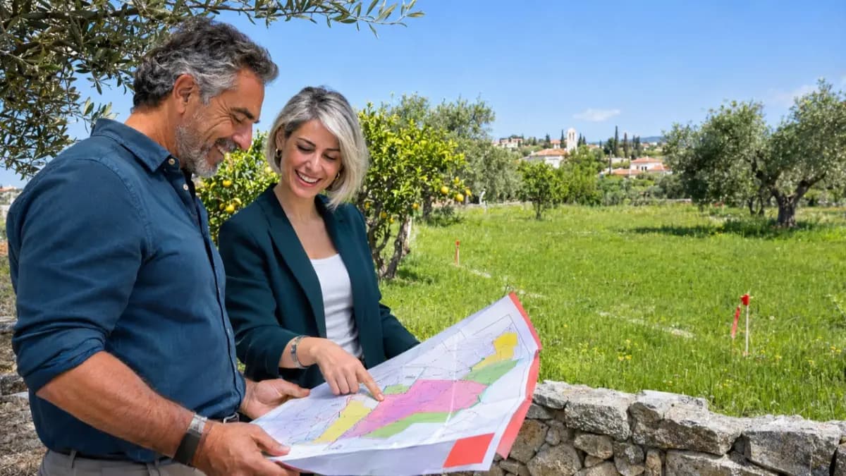
Check whether a zone boundary crosses the plot. Record every zone designation that applies to it, then read the map legend and notes. If a boundary is unclear, ask an architect or planning specialist to review the documents.
You should finish this step with an extract from the official plan that clearly identifies the plot and shows its zone designations legibly.
For example, the Avdellero plan ΔΠ/ΑΝ 2026/ΛΑΡ Ι/01 shows the administrative boundary in blue and zone boundaries in black. Its title block specifies a scale of 1:10,000 on an A0 sheet; the image size on screen changes as you zoom. Note 2 requires zone boundary details to be checked against official cadastral plans. For a plot on a zone boundary, save both an overview extract and a detailed cadastral plan.
What has changed from the previous version?
The department’s announcement lists the communities and explains the objections procedure. Changes to land-use designations need to be established by comparing the old and new maps. A verified list of plots rezoned for residential, commercial, tourist or agricultural use is not available for this article.
Step 4. Find the previous applicable plan and compare the conditions
In the archive of official publications, look for the 2017 approved zoning plans for Avdellero, Voroklini, Kellia, Pyla and Troulloi. For Koshi, start with the 2025 entry “Κόσιη/Κόχη” in the main register. Check the area covered by each document and any subsequent amendments before using it to compare with the 2026 plans.
First, compare the land-use designation. Use the map legend to establish whether the plot falls within a residential, commercial, tourist, agricultural or other zone. For each version, record the full zone designation and the position of the boundary in relation to the plot.
Next, compare building density, site coverage, the permitted number of storeys and height. Complete the check by reading the notes and special provisions referenced on the map.
If the code has changed, establish what the new category allows. If it remains the same, compare the boundaries and accompanying conditions. Write a short comparison covering the previous rules, the revised rules and the part of the plot affected by each difference. This gives you a concrete basis for discussing a proposed development and the land’s price.
Who can object, and how?
The official announcement allows any interested person to submit a reasoned objection. It must be addressed to the Minister of Interior and set out specific grounds relating to the published plans.
Use the service “ΕΝΣ — Ένσταση κατά των Προνοιών Σχεδίου Ανάπτυξης”, meaning an objection against the provisions of a development plan. The government service is free. See the service page.
Step 5. Prepare your grounds for objection
Identify the plot or part of the plan concerned. Specify the designation, boundary or provision you are challenging, and state the change you are seeking. Explain the circumstances and documents that support your position.
Annotated extracts from the plans being compared and a specialist’s explanation can help support the submission. Check the selected form for its mandatory attachments.
Step 6. Open the form in the system
Follow the link from the service page to the objections submission system. The user guide provides for signing in with a verified government account. Under “Νέα Αίτηση”, open “Σχέδια Ανάπτυξης” and select form ΕΝΣ. Choose the relevant development plan and check the submission deadline displayed.
Enter the applicant’s details, complete the required fields and add at least one objection. If a representative is submitting it, complete the relevant section. Confirm that you have read the “Αποποίηση Ευθύνης” section. To save a draft and return to it later, use “Προσωρινή Φύλαξη”.
Step 7. Check and submit
Before submitting, check the selected plan, plot details, grounds for objection and attachments: the objection cannot be edited after final submission. Use “Αποστολή” to submit. If the system flags incomplete mandatory fields, fill them in and complete the submission. Save the application number shown in the confirmation message.
Private applicants must complete the submission themselves. Automatic submission of a saved draft is available only to local authorities. These menu labels and actions follow sections 4, 5.2, 5.10 and 5.12 of the official user guide.
Step 8. Save proof of receipt
After submission, find the acknowledgement of receipt and the list of included objections among the application’s attached files. Save them with the materials you submitted. This procedure is described in the official user guide.
If a technical error occurs, record the error message and contact support on +357 22409535 or at ippodamos@moi.gov.cy. The announcement gives telephone support hours as Monday to Friday, 08:30–15:30. Check access to your account in advance to leave time to resolve any problems.
What to check before a purchase or development project
Ask an architect for a short written assessment of the plot covering the applicable plan, zone code, building parameters and restrictions. Separately, check any existing planning permission and building permit, together with their conditions and validity. Zoning and permit checks answer different questions about the property.
If a permit application is already under review, send the case number to the competent authority. Request written clarification of which version of the plan applies, whether the project needs additional information or changes, and how an objection affects the review of that particular application.
Before signing a contract, bring together the plot documents, applicable maps, list of changes and specialists’ responses in one folder. If an objection has been submitted, add the acknowledgement of receipt. These records allow you to discuss the purchase and proposed development using verified conditions for the specific plot.